Don't miss our holiday offer - 20% OFF!

Read also : Utilizing IoT in Flood Monitoring and Early Warning Systems
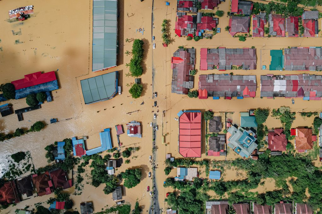
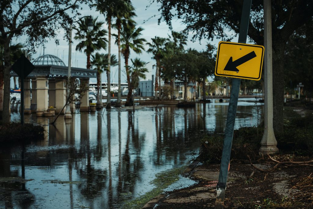
Floods are natural disasters that are often unavoidable, but we can take steps to mitigate them and better understand their impacts. One effective way to monitor and manage flood events is through the use of camera sensors and imagery. This article will delve into the crucial role of camera sensors and imagery in efforts to improve flood monitoring and management.
Contents
Camera Sensors in Flood Monitoring

Read also : Weather Sensors Controlling External Weather Factors
Camera sensors play a crucial role in flood monitoring. They can detect changes in environmental conditions over time, which is highly useful in predicting and responding to sudden changes related to floods. Some ways in which camera sensors are used in flood monitoring include:
Weather Monitoring
Camera sensors can be used to monitor weather conditions, including heavy rainfall, which often triggers floods. By tracking weather changes in real-time, we can be better prepared to deal with potential floods.
Streamflow Monitoring
Camera sensors can be installed along rivers and water channels to monitor water levels accurately. This helps in predicting when floods might occur and provides early warnings to communities.
Infrastructure Damage Monitoring
Floods often cause damage to bridges, roads, and other structures. Camera sensors can monitor and promptly detect this damage, facilitating swift repair actions.
Satellite Imagery for Flood Monitoring
Read also : Security and Privacy in Connected Parking Systems: Challenges and Solutions
In addition to camera sensors, satellite imagery also plays a vital role in flood monitoring. It can provide a broader view of flood extents and assist in decision-making. Here are some ways flood monitoring utilizes satellite imagery:
Large-Scale Monitoring
Satellite imagery can cover large areas, allowing efficient flood monitoring in extensive regions. This is particularly useful in situations where floods affect vast areas.
Flood Evolution Monitoring
By using satellite imagery taken periodically, we can observe how floods evolve and change over time. This aids in better planning for responses.
Land Changes Monitoring
Satellite imagery can also help identify flood-induced changes in land surfaces, like erosion or sedimentation. This information can be valuable for long-term flood management planning.
Conclusion

Read also : Security and Preparedness Enhanced by Smart EWS Technology
In an era of advancing technology, camera sensors and satellite imagery have been instrumental in enhancing our flood monitoring and management efforts. They enable us to take preventive actions, provide early warnings, and respond to floods more effectively. Understanding their crucial roles, we can continue to improve flood monitoring and management in the future. While floods may not be entirely avoidable, with the right technology, we can significantly reduce their impact.