Don't miss our holiday offer - 20% OFF!

Read also : Water Current Sensors: Key Tech for Revealing Flood Flow Secrets
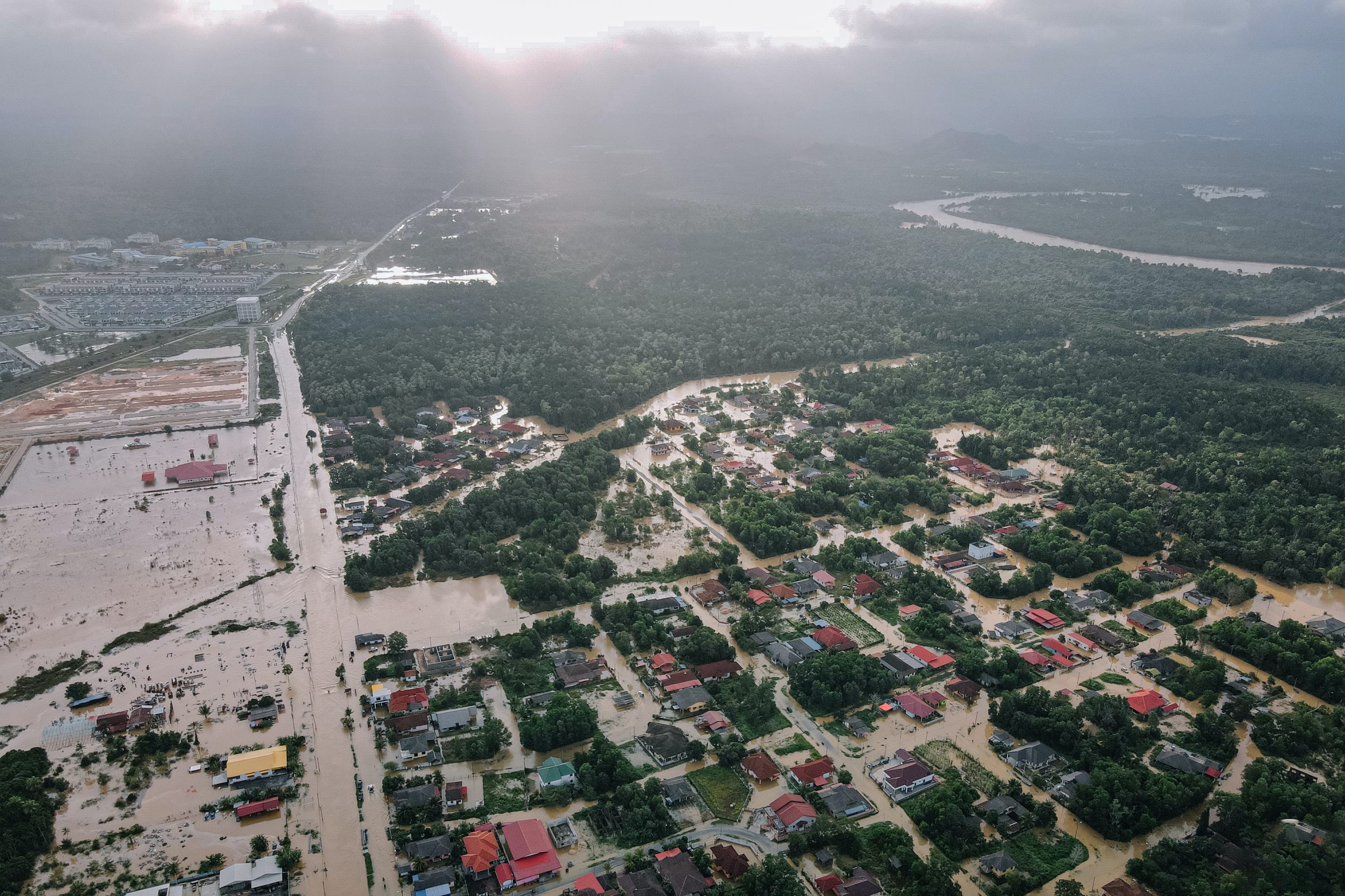
Flood emergencies demand precise monitoring and coordination. The advent of GPS sensor technology has brought significant changes to how we can measure, monitor, and respond to floods. This article explores how GPS sensors assist in tracking water movement during flood emergencies.
Contents
Benefits of GPS Sensors in Flood Monitoring

Read also : Utilizing IoT in Flood Monitoring and Early Warning Systems
GPS sensors, strategically positioned along rivers and flood-prone areas, offer the following key benefits:
Real-Time Water Movement Tracking
With the help of GPS sensors, the movement of water in rivers and flood-prone areas can be tracked in real-time. This means flood experts and emergency responders can monitor water levels, flow velocities, and changes in flow direction with high accuracy. This information is invaluable for evacuation planning, aid deployment, and local population warnings.
Early Warning Systems
GPS sensors can detect sudden increases in water levels or drastic changes in flow. When such conditions are detected, early warning systems can be automatically activated. This provides additional time for communities to prepare for the flood, reducing the risk of injuries and property damage.
Long-Term Monitoring
In addition to real-time monitoring, GPS sensors aid in long-term monitoring. Data collected from these sensors can be used to analyze flood patterns and changes in water flow over time. This information is crucial for long-term flood infrastructure planning and mitigation efforts.
Implementing GPS Sensors in Flood Management

Read also : Security and Privacy in Connected Parking Systems: Challenges and Solutions
Strategic Sensor Installation
GPS sensors are typically installed along rivers, dams, and flood-prone areas. They must be placed strategically to cover large and relevant areas. Once installed, these sensors can communicate wirelessly with monitoring centers.
Integration with Geographic Information Systems (GIS)
Data collected by GPS sensors can be integrated with Geographic Information Systems (GIS) for enhanced visualization. Interactive maps can assist emergency responders in making faster and more informed decisions.
Training and Preparedness
Proper training in the use of GPS sensors and related technology is crucial for emergency responders and local communities. Preparedness is key to responding swiftly in emergency situations.
Conclusion
Read also : Security and Preparedness Enhanced by Smart EWS Technology
GPS sensors have revolutionized flood monitoring and management. They provide the ability to track water movement in real-time, offer early warnings, and support long-term planning. With proper implementation, this technology can help protect lives and property during flood emergencies. Preparedness, training, and interagency cooperation are critical factors in ensuring the effectiveness of GPS sensors in monitoring water movement during floods.
In conclusion, the use of GPS sensors in flood monitoring has helped improve responses to emergency situations and mitigate the negative impacts of floods. This technology continues to evolve, and its role in flood management will become increasingly important in the future.