Don't miss our holiday offer - 20% OFF!

Read also : Utilizing IoT in Flood Monitoring and Early Warning Systems
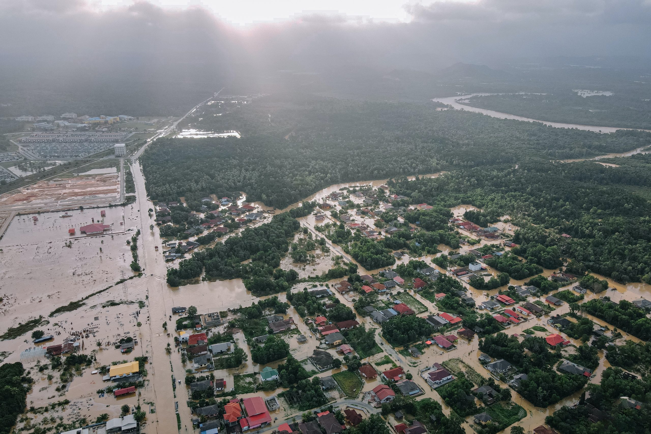
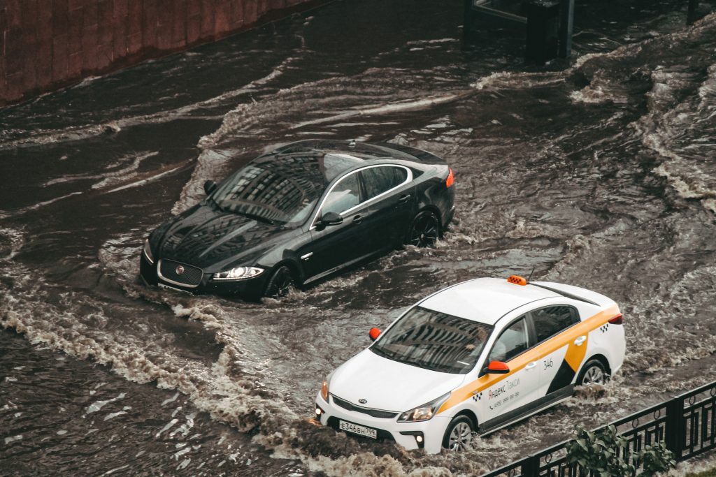
Floods are natural disasters that often threaten lives and property. Therefore, accurate monitoring and understanding of water movements are crucial for taking appropriate actions in emergencies. Global Positioning System (GPS) technology has opened new doors in flood monitoring, allowing us to map water flow with high precision and provide critical information to authorities. This article will discuss how GPS technology has transformed the way we view and respond to floods.
Contents
The Importance of Flood Monitoring

Read also : Pressure Sensors: Unveiling Advanced Flood Monitoring Secrets
Before delving into the role of GPS in flood monitoring, let’s understand why this monitoring is so crucial. Floods are disasters that can occur rapidly and wreak havoc. They can cause physical damage, loss of human lives, and significant environmental impacts. Thus, having a reliable monitoring system is essential to prevent unnecessary losses.
GPS: The Technology Foundation
Read also : Automated Parking Concept: Smart Solution for Availability
GPS is a system comprising a constellation of satellites orbiting Earth. They transmit signals to GPS receivers on the Earth’s surface, enabling the receivers to determine their positions with great accuracy. GPS has been widely used in navigation and mapping for years, but its application in flood monitoring is a relatively recent development.
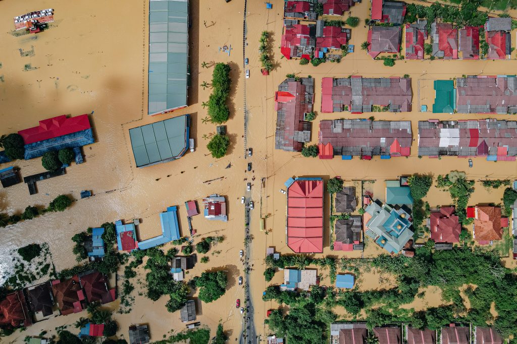
How GPS Sensor Maps Water Flow

Read also : Security and Preparedness Enhanced by Smart EWS Technology
One way GPS is used in flood monitoring is by installing GPS sensors on buoys or other floating devices placed in the water. These GPS sensors are connected to a central monitoring system that can track the buoy’s movements in real-time. When a flood occurs, these GPS sensors assist in mapping water flow, allowing authorities to identify high-risk areas.
Providing Critical Information with GPS Sensor
In addition to mapping water flow, GPS technology also provides critical information to authorities and rescue personnel. They can access real-time data on water movement, predict areas at higher risk, and take necessary preventive actions. This aids in evacuating residents, conducting rescues, and overall emergency response coordination.
Integrating GPS Sensor with Other Technologies
Read also : Security and Privacy in Connected Parking Systems: Challenges and Solutions
It’s important to note that GPS is often used in conjunction with other technologies, such as weather sensors and river monitoring systems. Integrating these technologies allows for a more comprehensive understanding of floods and water movements, helping authorities make better decisions.
Conclusion

Read also : Security and Preparedness Enhanced by Smart EWS Technology
GPS Sensor Navigation has brought about a revolutionary change in flood monitoring. This technology enables us to map water flow with high precision and provide critical information to authorities in emergency situations. By continually developing and integrating this technology with existing monitoring systems, we can enhance our capabilities in facing flood threats and safeguarding human lives and property. GPS is not just an ordinary navigation tool; it’s a lifesaving tool in emergencies.